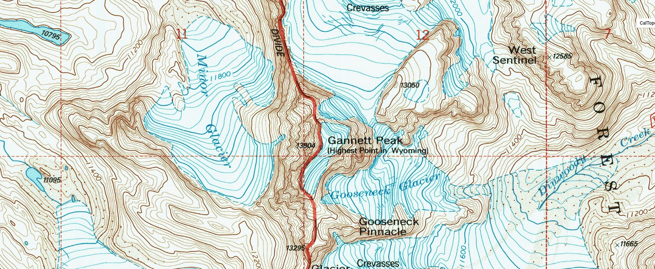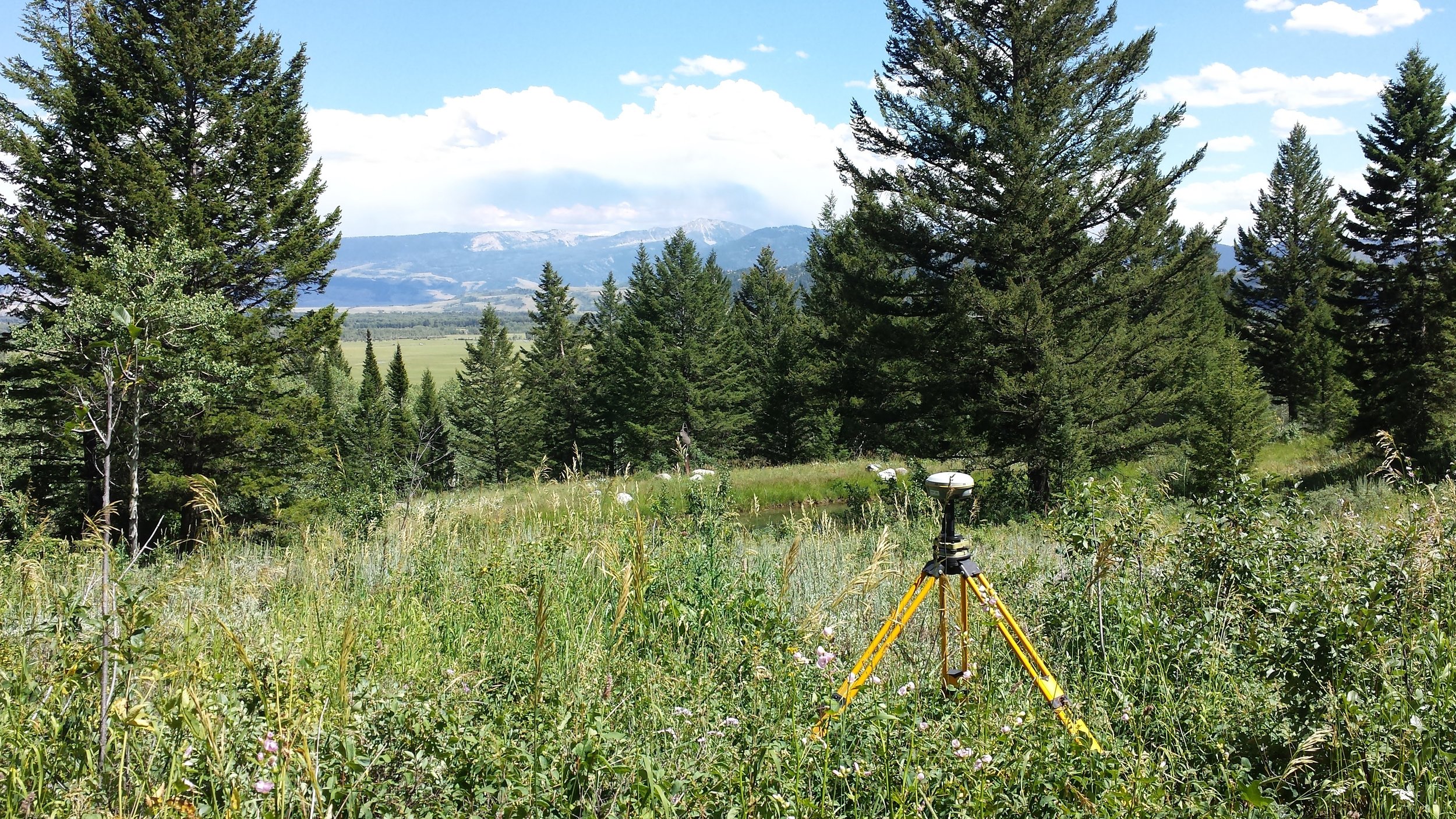
Gannett Peak Surveying, LLC is a full service Professional Land Surveying Firm based in Western Wyoming
About
We are a small business located in Western Wyoming, where we focus on providing excellent customer service and professional results. We utilize the latest technology to provide the most accurate land surveying services including:
Professional Land Surveying
Easements and Legal Descriptions
Subdivision Plats
Boundary Surveying
Real Estate Surveys
Existing Conditions Survey
Engineering Design Surveys
Commerical Construction Staking
Highway Construction Staking
Residential Construction Staking
High Definition Aerial Mapping
3d Modeling and visualization of real estate and terrain
GIS mapping
Our technologies include:
Trimble RTK GPS
Trimble Robotic Total Station
Trimble Digital Level
Trimble Business Center
RTK UAV for High Definition Aerial Mapping
AutoCAD Civil 3D
InfraWorks
ReCap
Blue Marble - Global Mapper
Sketchup
Pix4D
Agisoft Photoscan
Licensed in Wyoming and Idaho
Ryan Wells, Wyoming PLS # 16884
Owner of Gannett Peak Surveying, LLC
Mr. Wells has over 14 years of surveying and engineering experience that includes topographic, boundary and control surveys, construction staking and civil design. His areas of expertise include land surveying, drafting, and construction staking.

Let’s Work Together
PO Box 2330
Pinedale, WY 82941
307-622-0786
ryan@gps-wy.com

